
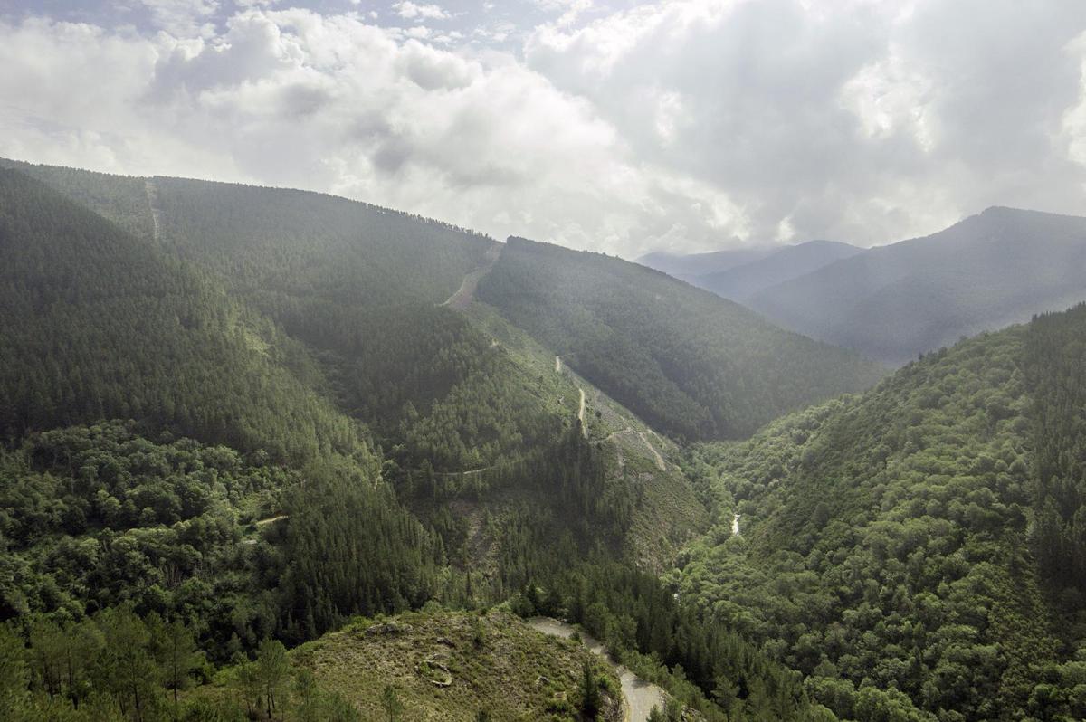
Chestnut and Honey Route. PR-G 236 (Approved in May 2019)
A 10.3 km circular route that goes from the village of Salcedo to the Paramedela grove, bordering the valley of the Lor and Loureiro rivers. In Paramedela you can visit an old restored dry riverbed. In addition, along the way you can see an alvariza, which are circular constructions that were (and are) used to protect bee hives from animals such as bears and foxes.
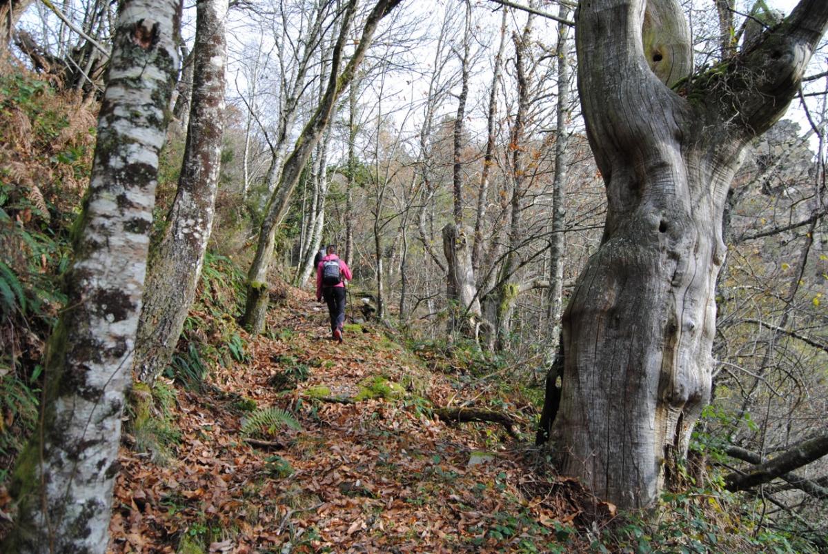
Route from the Chapel of San Vitoiro to the Veneira Mine. PR-G 242 (Approved in 2020)
Linear route of 6.2 km, prepared and signposted in November 2019. The path passes through points of great natural value where you can appreciate native forests and the steep rock formations on which the San Vitoiro viewpoint sits. But there are also elements of high ethnographic and heritage interest, such as the chapel of San Vitorio itself and the legend that surrounds this place, or the mining village of A Veneira de Roques.
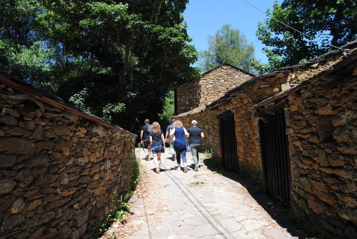
Route of Mixed Waters - Doade. PR-G 157
Linear route of 27.1 km along the canyon of the Sil River, from the place of Augas Mestas (Parada, Quiroga) to Doade. The section that passes through Pobra do Brollón runs along the riverbank of Vilachá de Salvadur, as well as the unique set of traditional wineries of this parish.
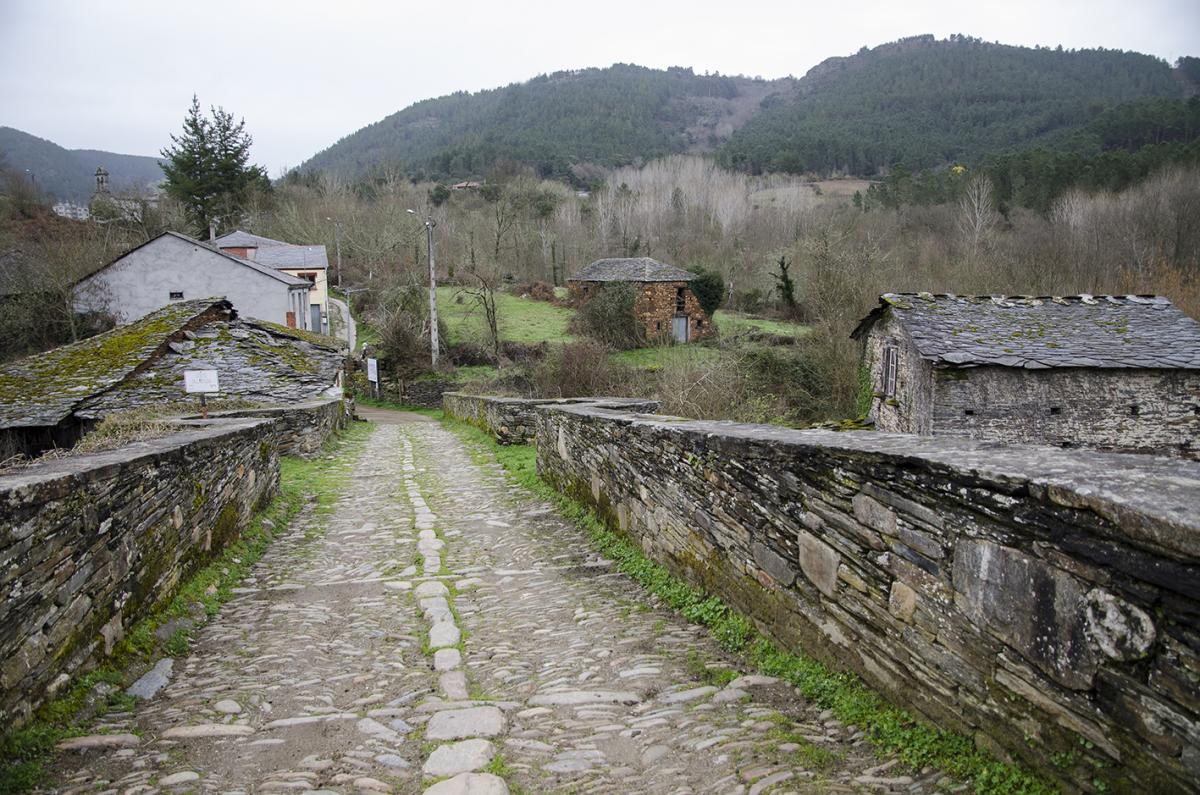
Route of the Lor. GR-8 (non-maintained route)
Route of a total of 68 km from O Cebreiro to Augas Mestas (Quiroga). The section that passes through Pobra do Brollón is 9.7 km long and goes from Barxa de Lor to the town of Paramedela, bordering the Lor River.
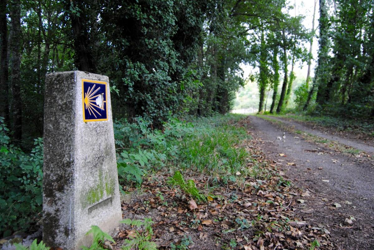
The Winter Path in Pobra do Brollón
Linear route of 27.1 km along the canyon of the Sil River, from the place of Augas Mestas (Parada, Quiroga) to Doade. The section that passes through Pobra do Brollón runs along the riverbank of Vilachá de Salvadur, as well as the unique set of traditional wineries of this parish.
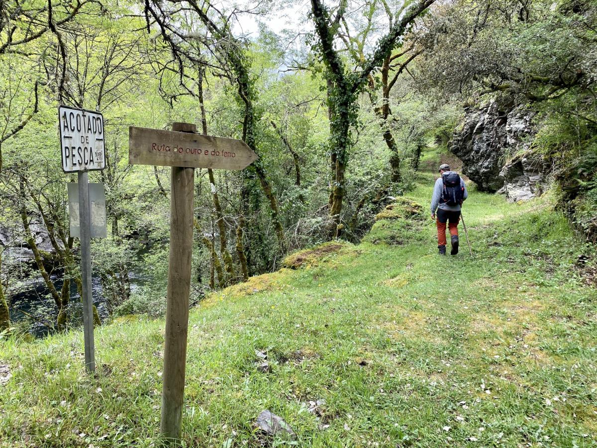
Gold and Iron Route (not approved)
An 11km non-approved circular trail, with a difference in altitude of around 400 metres. It starts and ends in Salcedo. From the centre of Salcedo it descends through the Laceiras to the valley of the Lor River. It continues parallel to the river among riverside vegetation to the village of Barxa de Lor, where the medieval bridge over the river is located. From Barxa the route back to Salcedo ascends passing through the Roman mines of A Lama.